
Guides · 04
Resolution, zoom and your exported image
A larger file can make a presentation easier to read, but it cannot reveal detail that the satellite did not capture. Keep ground resolution separate from the dimensions of the exported picture.
Updated:What 30 m means
HLS imagery uses source pixels about 30 m across on the ground. A pixel can contain several surfaces, such as water, soil and vegetation. Regional shorelines and large development patterns are suitable subjects. Individual houses, property boundaries and small damage claims usually require other evidence.
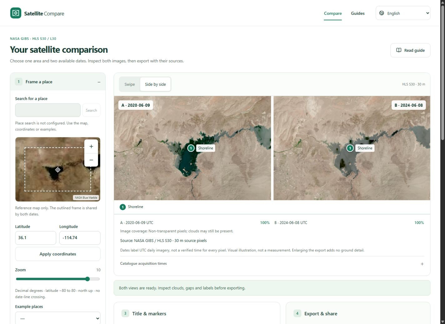
Zoom changes the display
Zooming changes the area shown and how source information is drawn on screen. Resampling may make edges appear smoother without adding information. The tool fixes a shared north-up frame for both dates; zoom does not independently sharpen one image or align separate user photographs.
Choose an export format
PNG preserves label edges and is useful for editing or slides. JPG usually produces a smaller file for an article, with some compression loss. Both include the same dates and source footer. Inspect the downloaded file at the size it will actually appear, especially on a phone. PNG and JPG default to two full views of the same area, A on the left and B on the right. This choice only changes downloads.
Know what the export is
The export is a labelled visual comparison, not a georeferenced GeoTIFF, original reflectance bands or a measured change map. It includes frame bounds for context, but those do not make the picture suitable for surveying. For analysis, retrieve original source data through the catalogue and check its access and quality requirements.