
Guides · 05
Compare lakes and landscapes with care
Lakes are a good first subject because shorelines provide recognizable reference features. They also illustrate why a satellite picture needs context: season, water colour, shadows and management can all change the view.
Updated:On this page
Use a stable frameDescribe visible differencesAdd independent contextKeep uncertainty in the pictureUse a stable frame
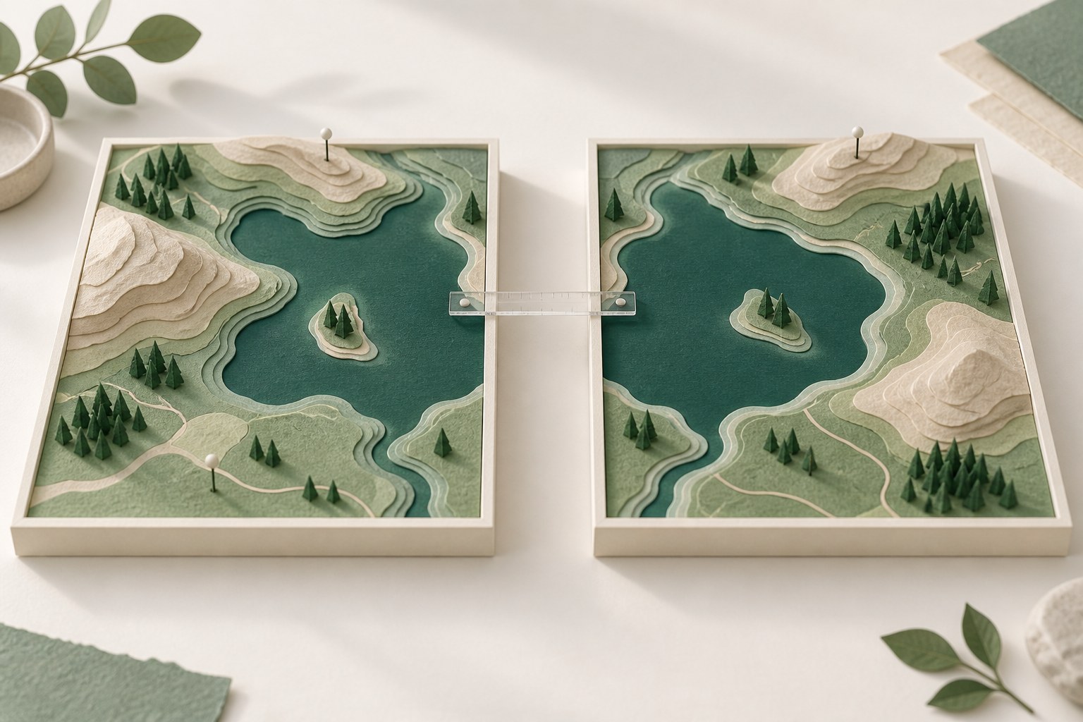
Include surrounding landforms as well as the water. A frame that only shows open water makes alignment and scale harder to judge. Use one product, the same extent and comparable seasons. The Lake Mead example is a convenient exercise, not a universal template for every reservoir.
Describe visible differences
A careful caption might say that more exposed shoreline is visible in one view. Avoid jumping from that observation to an exact change in volume or water level. Water colour can reflect sediment, algae, atmosphere or sun glint; it does not identify a cause on its own.
Add independent context
Check official gauge records or reservoir reports if your article discusses water level, storage or drought. Their dates and measurements may differ from the satellite dates. Cite them separately and make the distinction clear. Satellite Compare does not fetch gauge data or calculate shoreline area.
Keep uncertainty in the picture
Mark a visible landmark or shoreline segment rather than outlining an uncertain boundary as if it were measured. If haze or gaps cover the subject, choose another date. Keep both UTC dates and the source footer when cropping for publication, and explain any seasonal mismatch in the caption.