
Guides · 06
Publish a comparison with its sources
A comparison is easier to trust when a reader can identify its place, dates and source. Treat the exported image as one part of an explanation, with a short caption that distinguishes what is visible from what you infer.
Updated:On this page
Write a factual captionReview labels and markersOpen the downloaded fileShare responsiblyWrite a factual caption
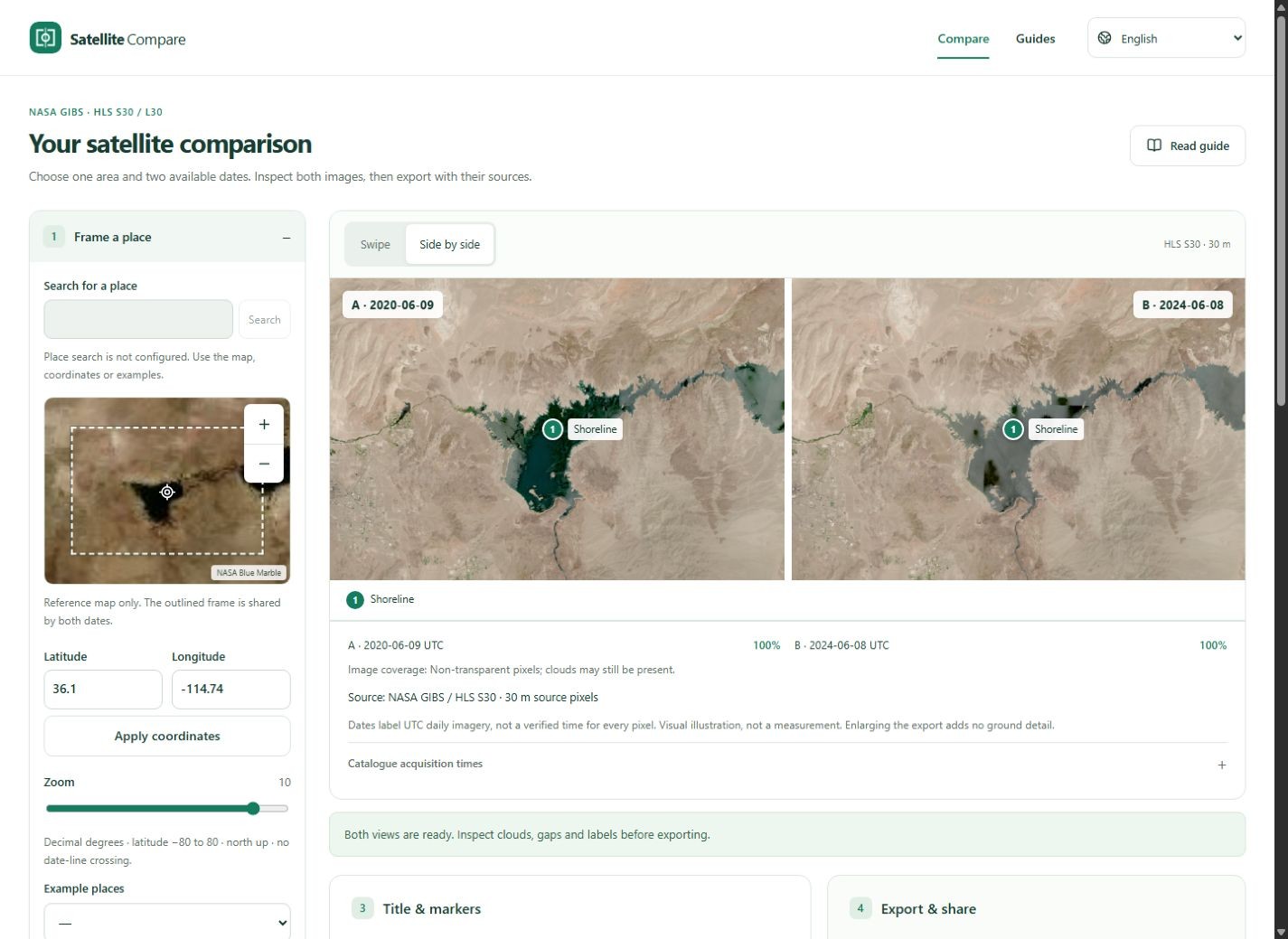
Name the place, list the A and B UTC data dates and identify NASA GIBS / HLS S30 or L30. Describe the visible difference without inventing a cause. Mention important cloud, gap or seasonal limitations. A title such as “Lake Mead, June 2020 and June 2024” is more useful than an unsupported dramatic claim.
Review labels and markers
Markers are shared visual annotations on the same frame, not survey coordinates or automated detections. Keep labels short and check they do not hide the subject. The export always retains a source footer. Do not crop it away; if a publication needs a different layout, repeat the source and dates clearly nearby.
Open the downloaded file
Check both sides, dates, note, markers and source at publication size. Confirm that the chosen layout is suitable and that gaps remain apparent. Exporting waits for completed images; an older result is invalidated when source settings change. A successful click alone does not verify the file.
Share responsibly
The share link contains view settings and any included title, note or markers, so anyone receiving it can read them. Avoid sensitive text. It reloads public services rather than preserving an archival copy. Keep the exported image and record the source links if reproducibility matters. Original scientific assets may require an Earthdata account.