
Guides · 07
Compare Satellite Images from Two Dates
To compare satellite images from two dates fairly, keep the same place, zoom and HLS product on both sides; choose dates that match the question and preferably the season; inspect cloud, haze and missing coverage; then label the actual UTC data dates and source before exporting.
Updated:On this page
Write one comparison questionLock the shared frame and productChoose dates that reduce confoundersInspect each image before moving the dividerCompare consistentlyExport with provenance and cautionWrite one comparison question
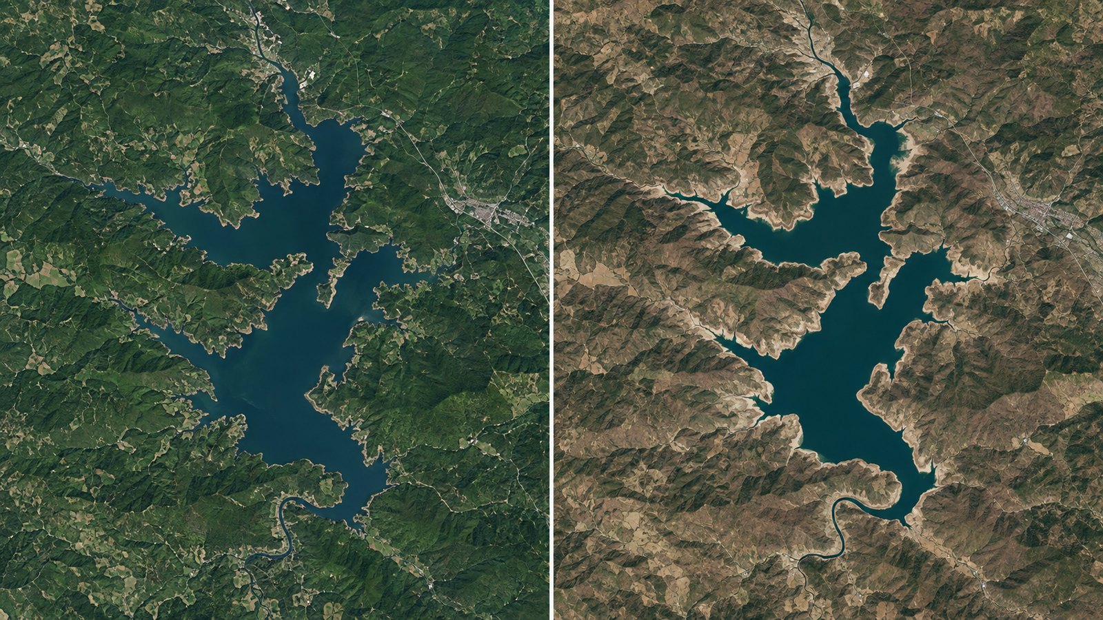
Define a visible feature such as shoreline shape, a broad construction footprint or burn scar. Avoid starting with a conclusion and searching only for a dramatic pair. Choose a feature large enough to be represented by several 30 m pixels; individual houses and narrow boundaries are not dependable targets.
Lock the shared frame and product
Both views should use one center, zoom and north-up frame. Use HLS S30 on both sides or HLS L30 on both sides rather than changing product with the date. Keep stable landmarks visible to check alignment.
Choose dates that reduce confounders
Use similar months when seasonal vegetation, water, snow or sun angle could dominate the view. Search nearby when cloud or missing imagery hides the subject. Record the selected data dates, not only the target dates you typed.
Inspect each image before moving the divider
Check cloud, haze, shadow, color balance and transparent gaps independently. Cloud metadata for a complete data tile is only a screening clue, and nontransparent coverage is not cloud-free coverage. Reject a pair when the feature is not visible on both dates.
Compare consistently
Use swipe to check aligned edges and side-by-side to inspect context. Do not change the frame or interpretation standard midway through the comparison. Brightness or color differences can come from atmosphere, illumination and processing rather than land change.
Export with provenance and caution
Add a neutral title, short note and only necessary markers. Export PNG or JPG and keep the NASA attribution, product and both actual dates legible. The result is an attributed visual comparison, not a calculated change map or measurement.
Questions before you begin
Should both dates use the same month?
Often yes for seasonal fairness, but cloud-free visibility and the specific event may require nearby alternatives.
Does low cloud metadata guarantee a clear view?
No. The estimate may describe whole granules while a cloud still covers the subject.
Can I compare S30 with L30?
For a fair pair, keep one product on both sides; different sensors and rendering can add differences.
Does the tool calculate how much changed?
No. It supports visual comparison and export, not physical change detection.
Sources & further reading
Use the tool as a first step
Build an attributed visual pair, then use original data and an analysis workflow for quantitative claims.